
The Station for Measuring Earth surface – Atmosphere Relations, SMEAR, is a unique research infrastructure concept in its comprehensiveness. SMEAR station is an integrated and sophisticated approach to observe in-situ 24/7 and in a coherent way material and energy exchange between the atmosphere and the Earth surface. It is designed to provide high quality, unbiased data and associated metadata on land, aquatic and urban Earth surface–atmosphere interactions to enhance understanding from nano-scale to global feedback loops. Measurement data is aimed to be open and easily accessible for international multidisciplinary research community.
FINLAND
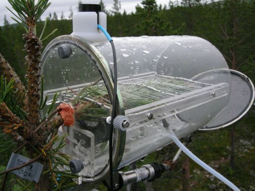 | SMEAR I Värriö SMEAR I 67° 45′ 18.158′ N’, 29° 36′ 36.495′ E, 390 m above sea levelSubarctic pine forest |
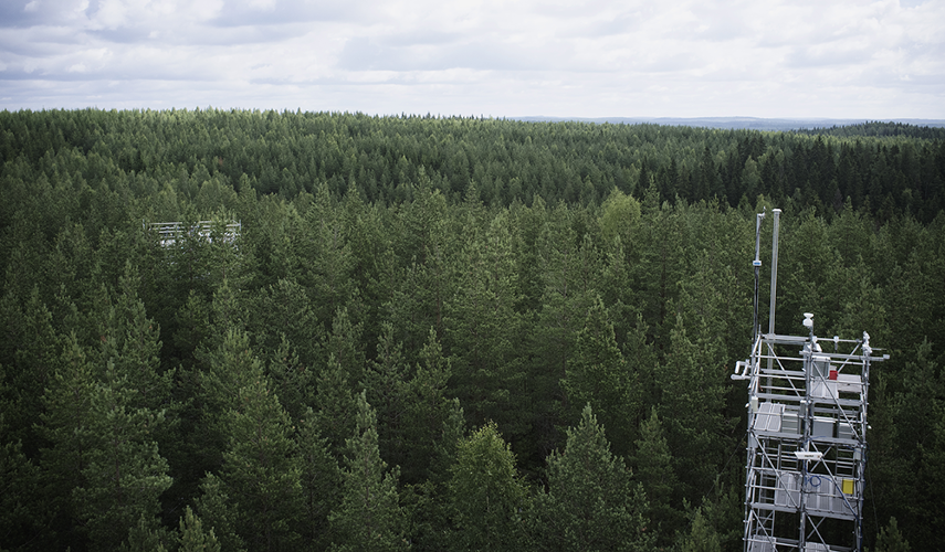
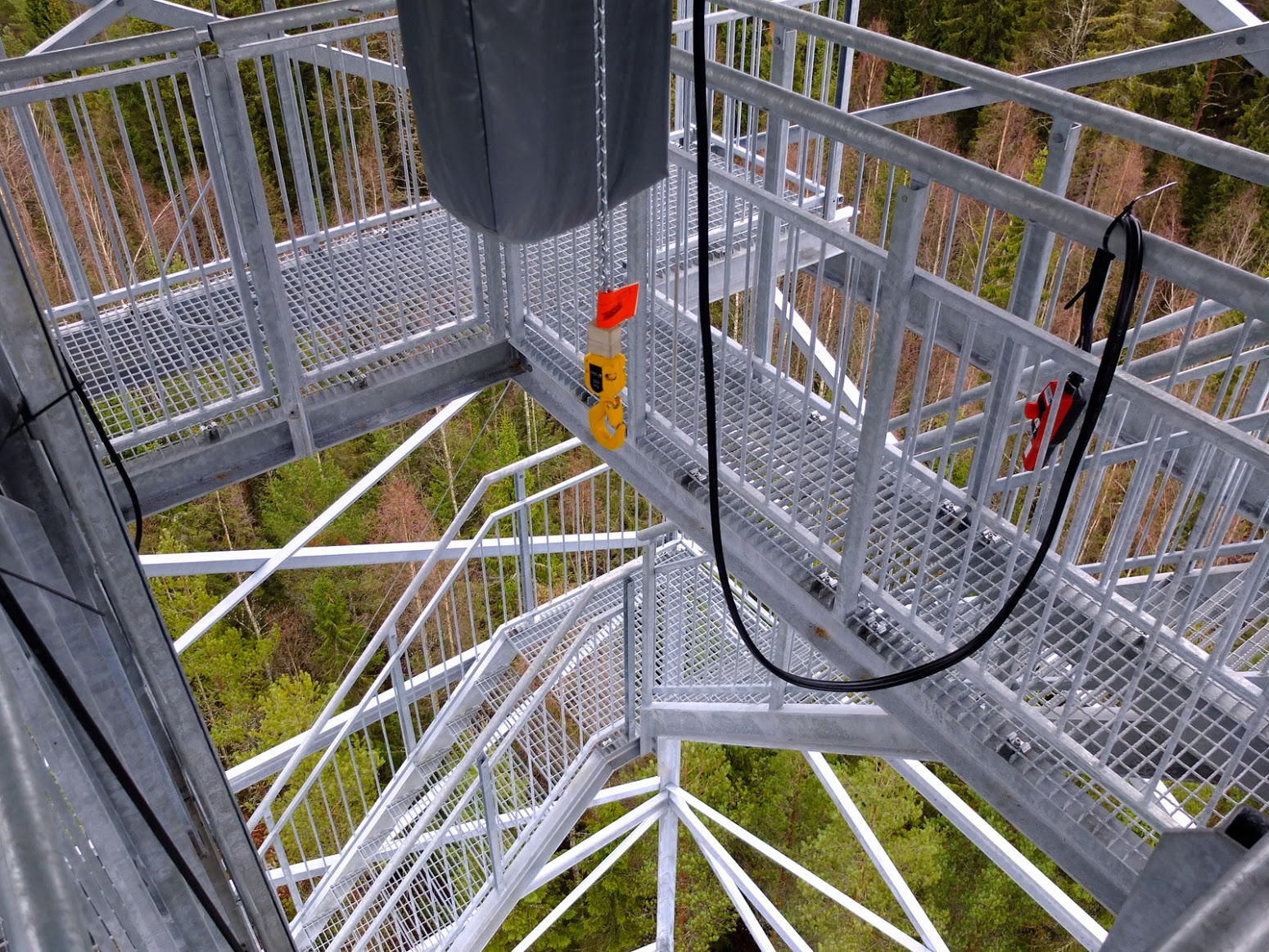 | SMEAR II / Flagship station Hyytiälä SMEAR II 61°51’ N, 24°17’ E, 181 m above sea level Southern boreal pine forest, lake and wetland (Photo from Juho Aalto.) |
 | SMEAR III Helsinki SMEAR III 60° 12.173′ N, 24° 57.663’E Urban environment |
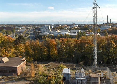
 | SMEAR IV Kuopio-Puijo SMEAR IV 62°55′, E 27°40′ 224 m above sea level elevated location in a semi-urban area, site frequently in cloud |
 | SMEAR Agriculture |
 | SMEAR Marine CostClim project |
ESTONIA
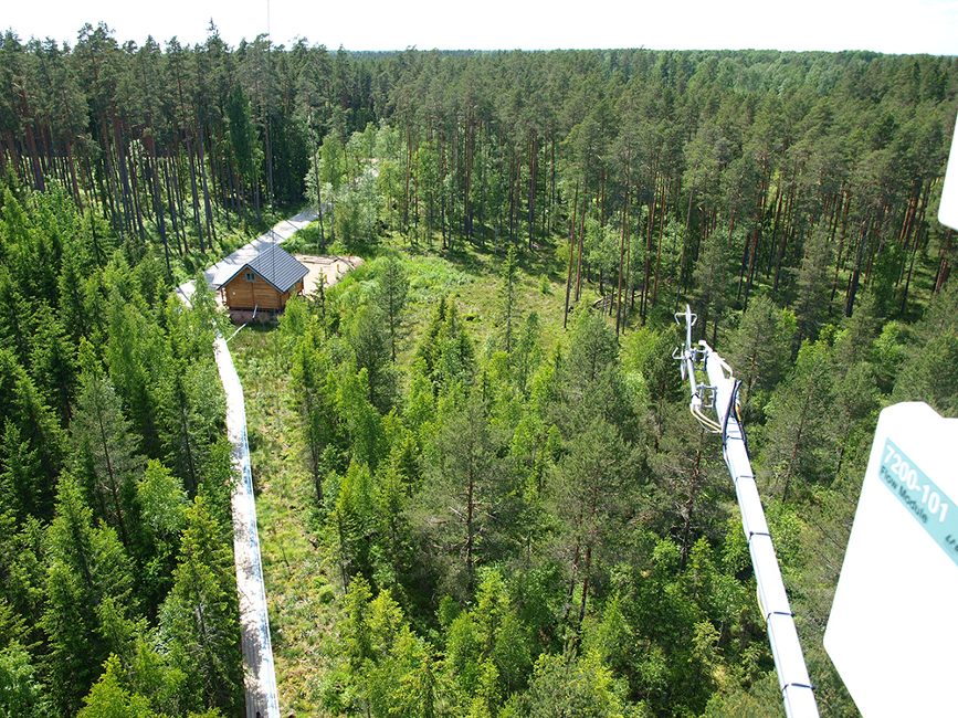 | SMEAR Estonia SMEAR Estonia 58° 16’ N, 27° 18’ E Read more: Noe et al., 2016 |
CHINA
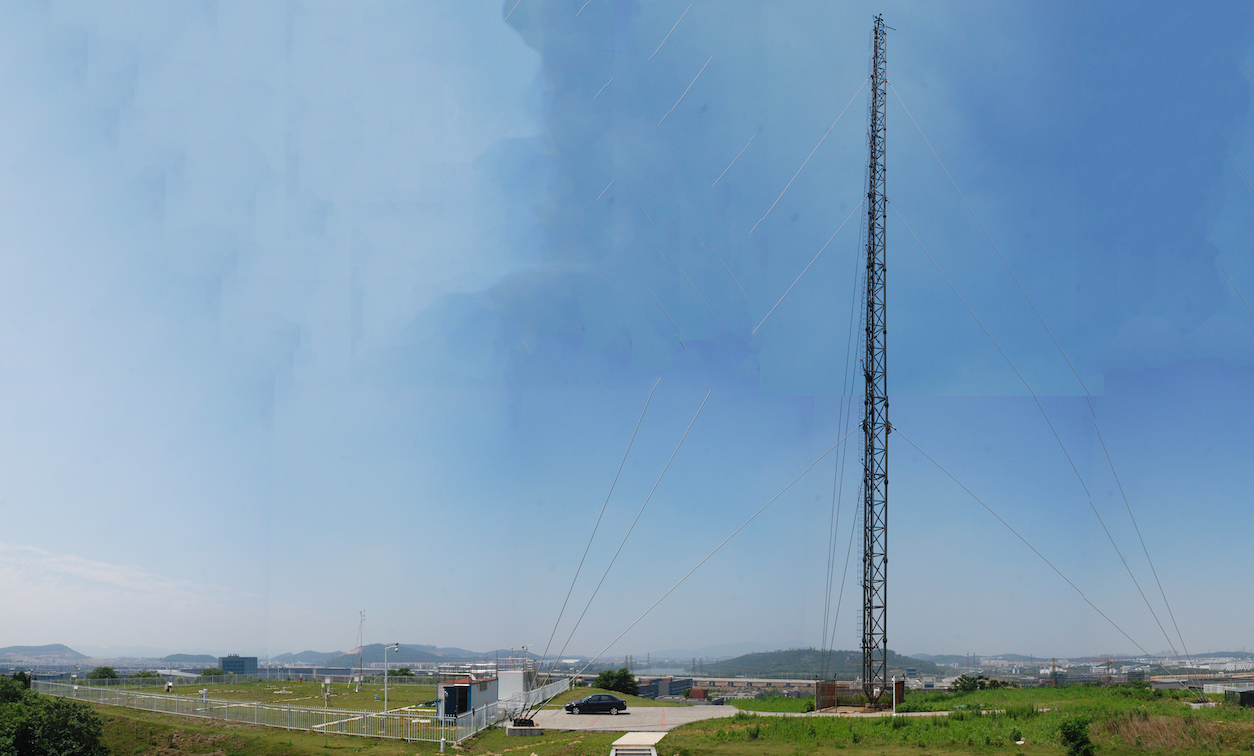 | SORPES-NJU Located in Nanjing |
 | SMEAR BUCT (Beijing University of Chemical Technology) Located in Beijing |
INDIA
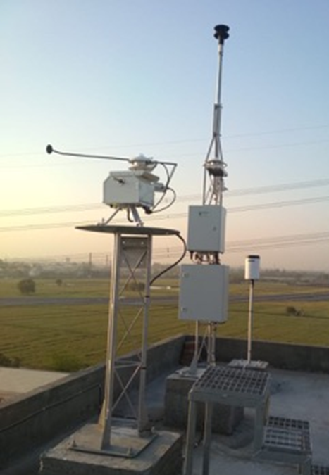 | Sonipat Atmospheric Observatory Located in Delhi |